Depth finders have become an integral part of every angler’s tool set for decades. The term depth finder refers to a device utilizing sonar. Sonar emits high frequency sound waves that are inaudible to fish and humans. These impulses strike an object and reflect back to a receiver. The receiver measures the time it took for the impulses to return and continually calculates the distance between it and the object.
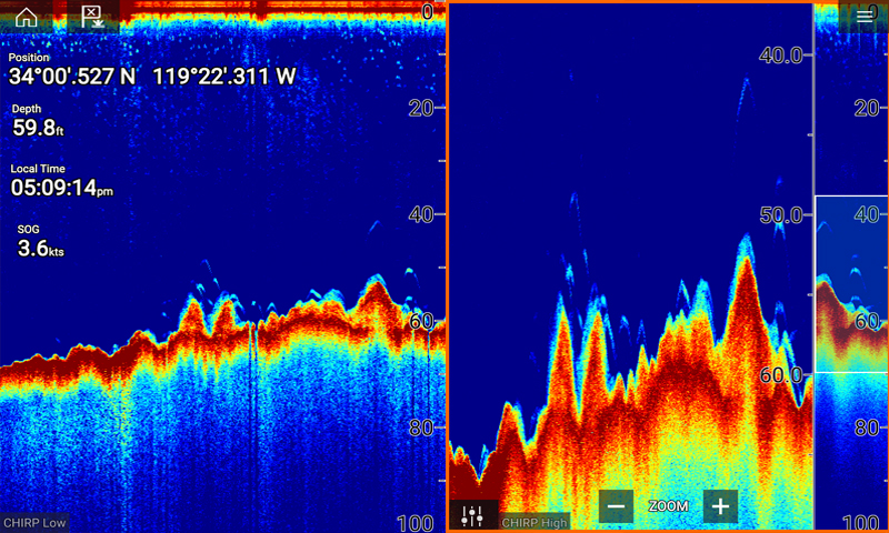
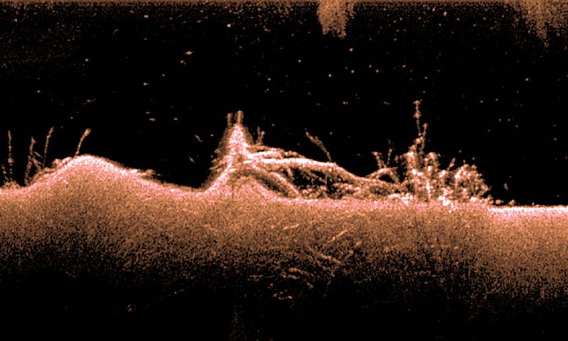
Screens, graphs, or calibrated flashes display distance. The data you obtain from a depth finder screen, in part, includes: bottom composition, bottom terrain, depth, structure type and configuration, presence of fish, size of fish, and submerged weeds and wood. With the bank of information a depth finder furnishes, savvy anglers can create a complete representation of the fish’s world—a picture that will allow them to catch more fish.
Ways a depth finder enhances a fishing map:
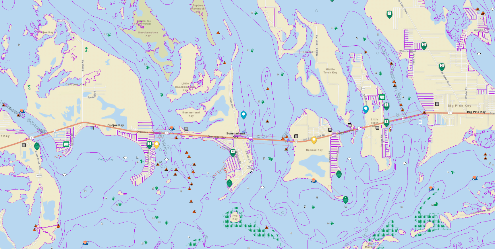
- Confirming specific locations and structure – A depth finder is necessary to confirm exact locations identified on your map.
- Locating fish – A depth finder will tell you whether fish are present or to motor on to the next predetermined area to fish.
- Updating your fishing map – Navigating with a fishing map and a depth finder can improve the accuracy of your map over time.
- Visualizing a 3-D image – Depth finders project enough data for an angler to create a mental view of the subsurface environment.
- Staying on edges with fish – Weed edges and breaklines are outstanding places to catch fish and an angler must have a depth finder to stay on top of them and follow their movement.
- Estimating distance – Depth finders display speed and distance traveled on screen.
Looking for a GPS enabled fishing resource? The Fishidy website and the Fishidy mobile app allow you to locate fishing waterways and see species and facilities in the area.


