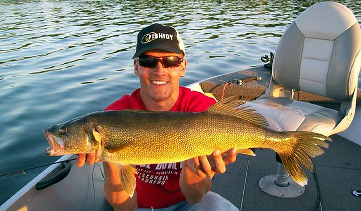
When looking for that ideal spot for spawning fish, there is no better location to start than near structure. Keep in mind that fish relate to measurable current, wind action, and shallow contours when spawning. An easy way to find these successful fishing locations is to use an accurate fishing map with marked structure.
 As a premium subscriber, the lake maps on Fishidy provide a variety of marked underwater structures including, submerged weed lines, rock piles, and fish cribs.
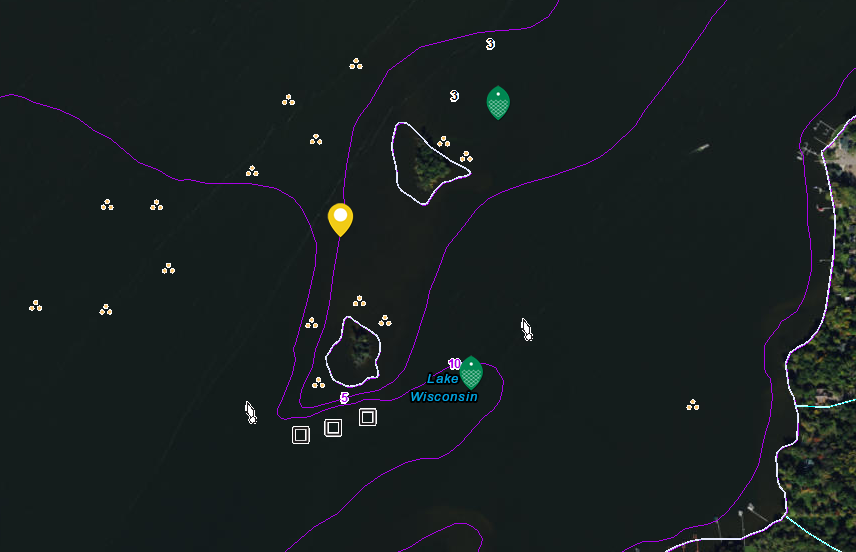
In the example below, as shown on the Lake Wisconsin waterway map, you can see clearly mapped stumps or timber in the shallows, surrounding an island acting as a break between two channels, and fish attractors in the deeper water accompanied by steep contour lines. The current will push food to the fish and the variance in depth of the water will allow fish to suspend deeper or shallower depending on sunlight conditions. These underwater features are magnets for fish!
Study a fishing map to find areas likely to hold the preferred food of the species you seek. The more you understand the relationship of fish and how they relate to surrounding structure, the more fish you will have the opportunity to meet on the end of your line and you will no longer be fishing blind.


